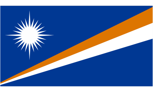
REPUBLIC OF THE MARSHALL ISLANDS
Population
Total: 80,966 (2023 est.)
Age Structure: 0-14 years: 30.65%, 15-64 years: 63.83%, 65 years and over: 5.52%
Population by gender: male 50.9%, female 49.1% (2020 DECIA)
Urban population: 78.9% of total population (2023)
Rate of urbanization: 0.61% annual rate of change (2020-2025 est.)
Total fertility rate: 2.72 children born/woman (2023 est.)
Diabetes rate: Prevalence (age-adjusted 20-79 years) – 23% (2021); proportion of people with undiagnosed diabetes – 65% (2021)
Drinking water source: improved – 100% of population, unimproved 0% of population (2020 est.)
Sanitation facility access: improved – 89.7% of population; unimproved – 10.3% of population (2020 est.)
Ethnicity: Marshallese 92.1%, mixed Marshallese 5.9%, other 2% (2006 est.)
Languages: Marshallese (official) 98.2%, other languages 1.8% (1999 est.) Note: English, widely spoken as a second language.
Literacy: 98.3% (2011 est.)
Economy
Real GDP: $250.694 million (2021 est.)
GDP per capita: $6,000 (2021 est. in 2017 dollars)
Labor force by occupation: agriculture (11%), industry (16.3%), services (72.7%) (2011 est.)
GDP-composition by sector of origin: agriculture (4.4%), industry (9.9%), services (85.7%) (2013 est.)
Unemployment rate: 31% (2011 est.)
Poverty rate: 7.2% (2019)
WIC: There is no WIC program in the Marshall Islands
Agricultural Product: coconuts
Top Industries: copra, tuna processing, tourism, hand crafts (from seashells, wood, and pearls)
Exports: $76.734 million (2020 est.); ships, fish, recreational boats, broadcasting equipment, coal tar oil (2019)
Imports: $171.201 million (2020 est.); ships, refined petroleum, centrifuges, recreational boats, boat propellers (2019)
Transportation
Airports (15 (4 with paved runways, 11 with unpaved runways), 2021 est.), Roadways (2,028 km total with 75 km paved and 1,953 km unpaved, 2007 est.)), Merchant marine (4,042 with 1,879 bulk carrier, 276 container ship, 62 general cargo, 1,023 oil tanker, and 802 other (2022 est.)), Ports and terminals (major seaports at Enitwetak Island, Kwajalein, and Majuro)
Geography
Land: 181 sq km
Natural Resource: coconut products, marine products, deep seabed minerals
Land Use: agricultural land (50.7%) – arable land (7.8%), permanent crops (31.2%), permanent pasture (11.7%); forest (49.3%); other (0%) (2018 est.)
Climate: tropical; hot and humid weather; wet season May to November; islands border typhoon belt
Environmental-current issue: inadequate supplies of potable water; pollution of Majuro lagoon from household waste and discharges from fishing vessels; sea level rise

